The Shipwreck Coast is a short section of the Victorian coast centred around Port Campbell where the local limestone has been heavily carved by the Southern Ocean to form a series of spectacular cliffs. It’s such a popular flying destination that there is a local CTAF and recommended cruising altitudes along the coast: 500 feet east and 800 feet west for helicopters and 1500 feet east and 1000 feet west for fixed wing. I did this trip a few years ago and it was partially a ploy to get my wife to go for a flight with me. She grew up in the area and has fond memories of holidays at the Bay of Islands near Peterborough.
It was a warm summer’s day, so likely to get rough, but we headed off at about 10 AM and 4500 feet was high enough to get above the early thermals. The distance to the coast is about 110 nautical miles over mostly open farmland.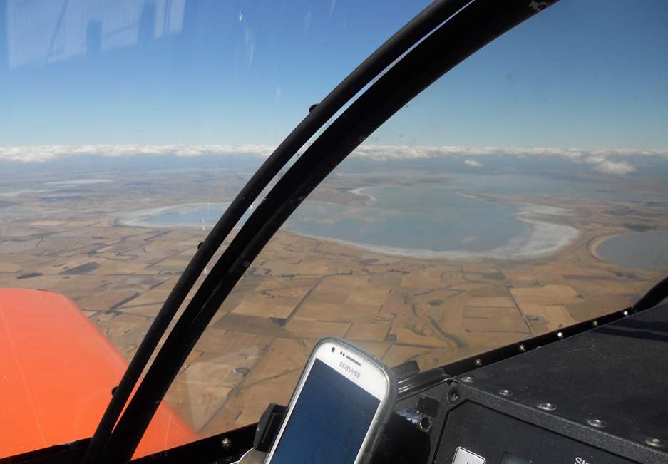
This is lake Corangamite, the largest lake in Australia with permanent water. It’s about 28 km from north to south and saline of course. There is a smaller lake, Gnarpurt, which just appears at the right of the photo. There is a road along the spit of land separating the lakes. I drove through there about 10 years ago when Gnarpurt was dry due to drought conditions and the dust and salt from the lake bed had blown across the road creating a grey landscape. If you wanted to film a movie about the end of the world you couldn’t have picked a better spot.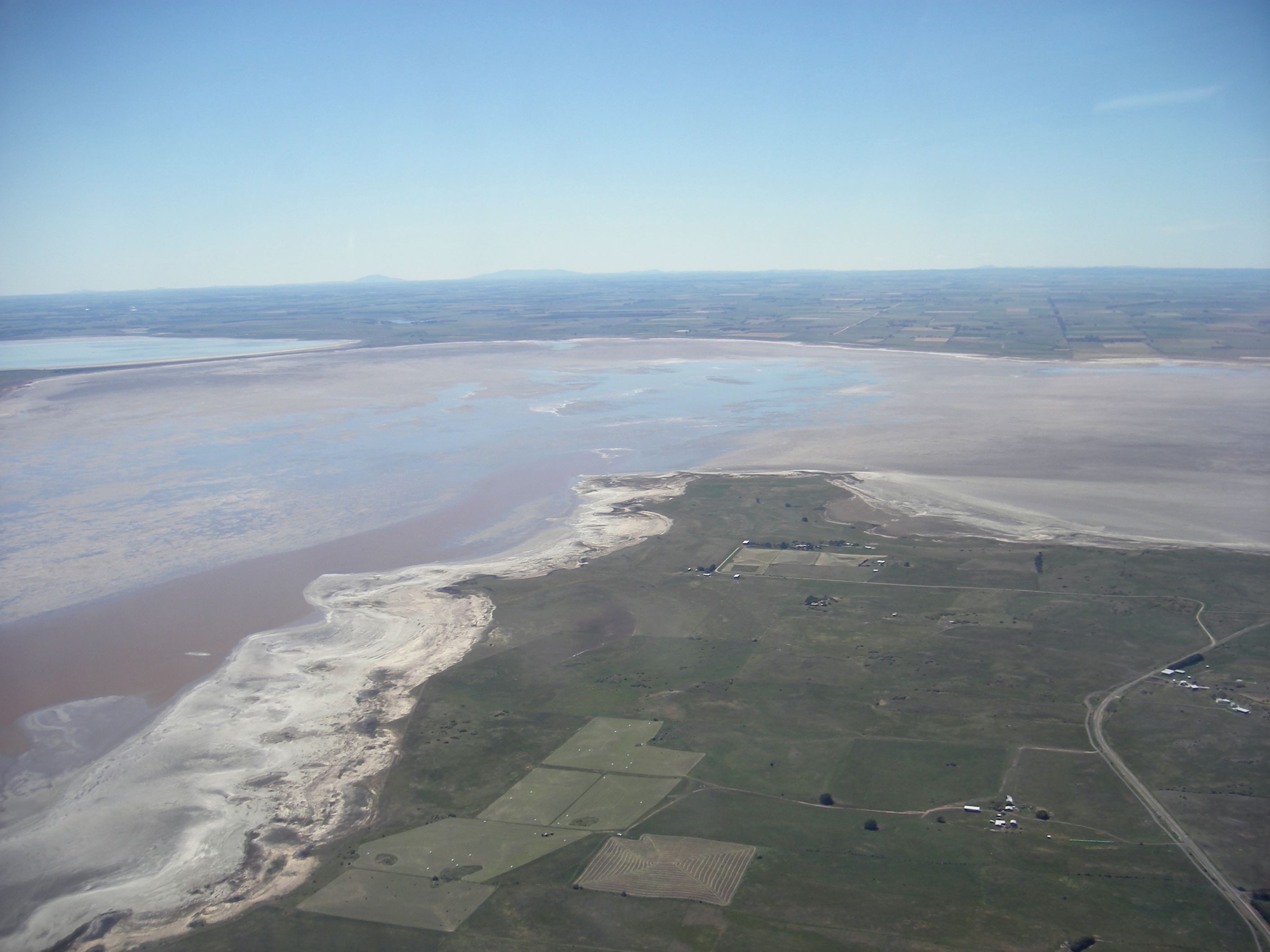
The above photo was taken from my Skyfox in late 2007. At that time, water in the lakes was about 4 times as salty as sea water. Heavy rains in 2010 have revived the lakes.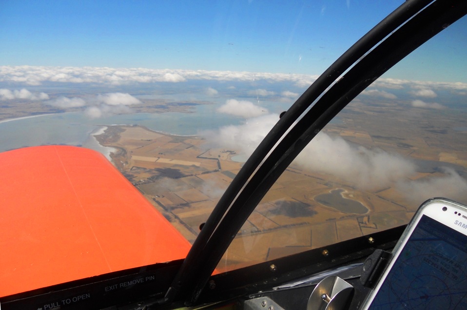
A bit more of Corangamite. At this stage we were still sitting pretty at 4500 feet and above the thermals but it would soon be time to slip below the increasing cloud cover.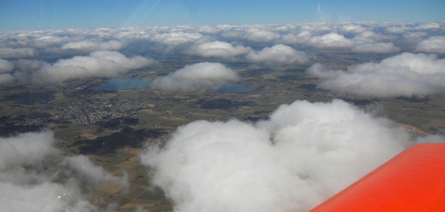
On the way down – the town is Camperdown, a dairy farming centre situated in the middle of what must have been at one time a very fiery place. It sits alongside Mount Leura, a dormant volcano (not visible unfortunately) and the two lakes to the west, Lake Gnotuk and Lake Bullen Merri which are crater lakes formed in volcanic maars. Volcanic maars form when molten lava on the way to the surface runs into groundwater turning it into steam and causing gigantic explosions. It’s all pretty peaceful now.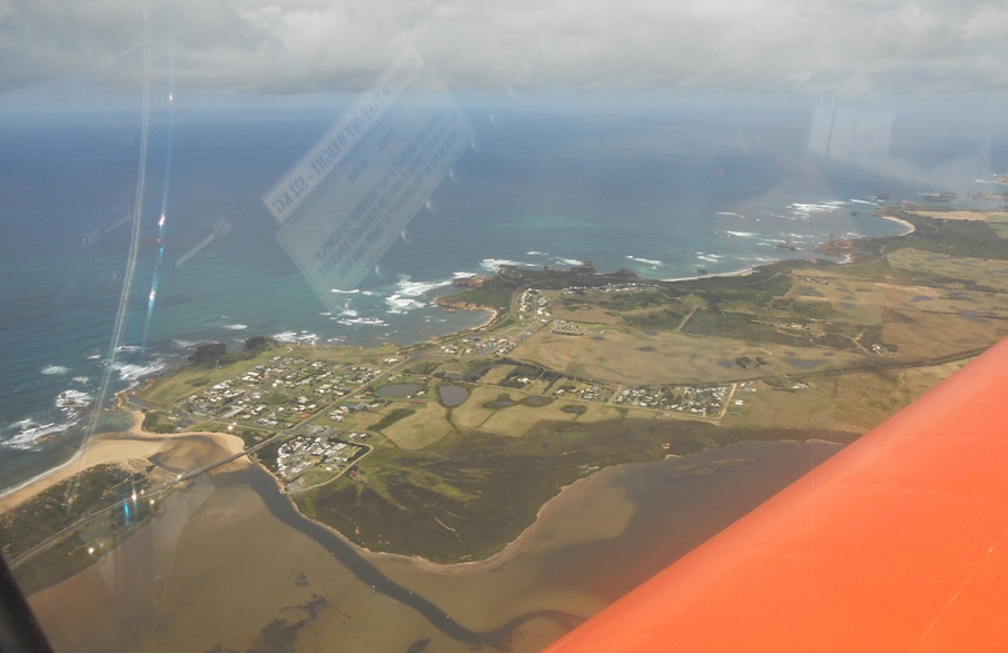
We reached the coast at Peterborough where I made my advisory call on the CTAF and we headed south-east at 1500 feet. There were two helicopters and another fixed wing aircraft operating in the area so despite the level separation I had my eyes on stalks.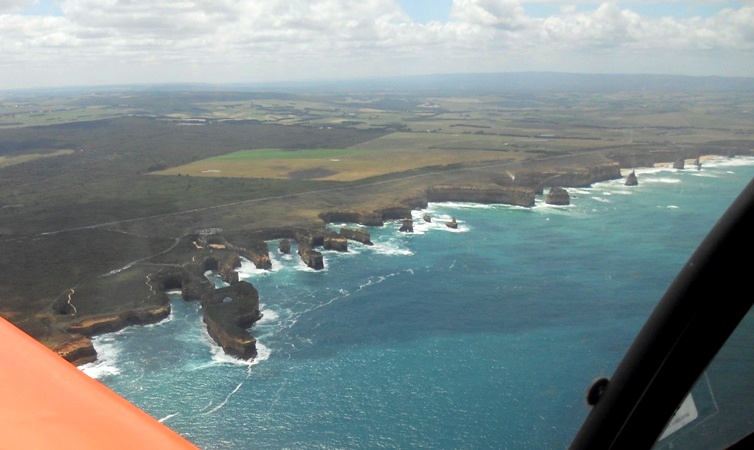
These are the “12 Apostles” although it takes a fair bit of imagination to see more than about 8, and one collapsed into the sea only a few years ago.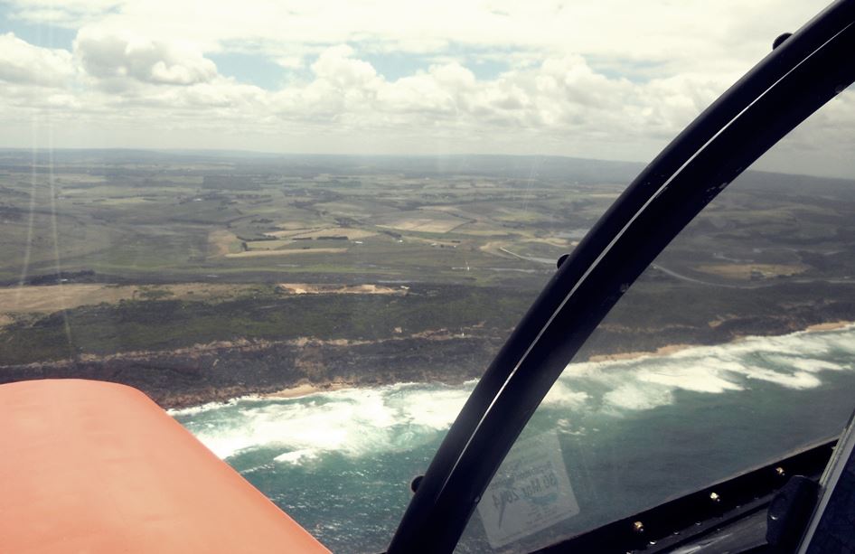
The cliffs gradually become just hills so at Princetown I made another call and we turned back to the north-west, but at this time I lost my nerve.  I didn’t like the idea of flying only 200 feet above helicopters while I was distracted by the view so headed up to 2500 feet for the return run.
Here are the apostles again looking north-west.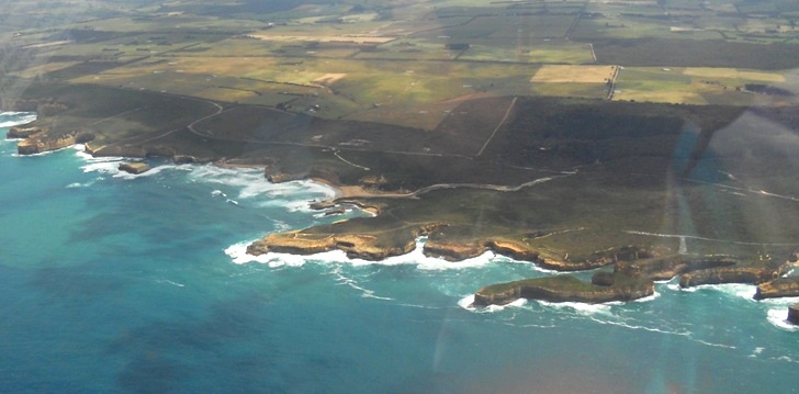
What appears to be a long peninsular in the right foreground of this photo is actually Mutton Bird Island, and just to the right of that is the opening to Loch Ard Gorge. In June 1878, the Loch Ard, a three mast sailing ship near the end of a three month journey from England to Melbourne ran aground on Mutton Bird Island and quickly sank. From the 54 crew and passengers there were only two survivors. Tom Pierce, a 15 year old apprentice, and Eva Carmichael, a 17 year old passenger. Tom came ashore in the gorge on an upturned lifeboat and went back into the sea to rescue Eva who had survived by clinging to a spar for hours. The opening to the gorge is only about 30 metres wide and it is one of the few inlets with both a beach and scalable cliffs.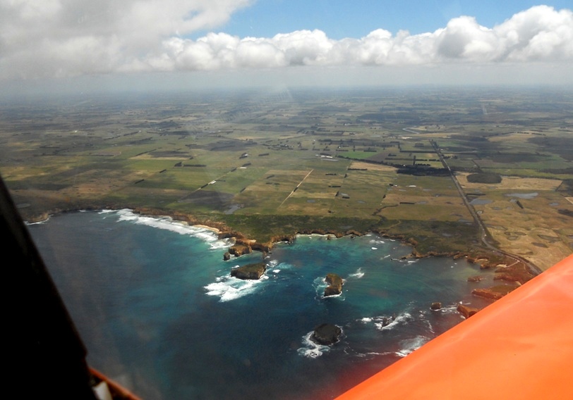
Back past Peterborough, this is part of the Bay of Islands, the area Sue so fondly remembers. I have seen an old home movie of her as a young girl running along a narrow cliff-top path with sloping gravel on each side leading to steep cliffs and certain death. Children really don’t have much imagination do they? From here, we headed back to Cobden for a short break and a chat to the friendly locals and then climbed to 5500 to get above the bumps for the trip home. Looking at the photos makes me want to do the trip again, if only to get better quality photos.